From the Web
Upload Image
 Please link to or upload an image of a map
 How It Works

|
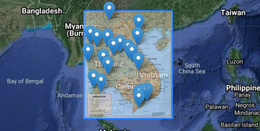
1. Click "Begin" to georeference a mapInput a url of a map image, or upload your own photo, then click "Begin". Map information such as place name labels or grid lines is then automatically extracted and used to georeference the map. |

|
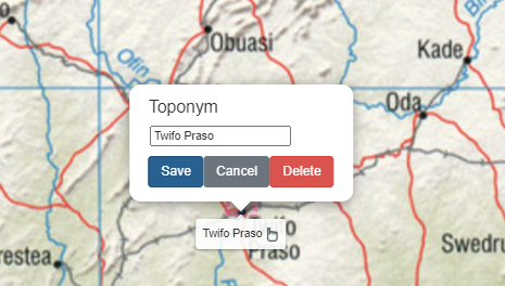
2. Make adjustments if necessaryIf the georeferenced map errors are too high, you can manually adjust any mistakes, such as the names or locations of detected point labels. Click "Refresh" to update the map georeferencing with the new information. |

|
3. Download the georeferenced mapThe georeferenced map can be downloaded as a georeferenced GeoTIFF image file, and can be imported into any mapping software. The georeferencing information for this map is now accessible to the wider public. |
